Inner Circle
Last trains today from:
Govan23:16 St Enoch23:28Outer Circle
Last trains today from:
Govan23:16 St Enoch23:28
Subway Smartcard
No matter how often or little you use the Subway, save each time you travel with a Subway Smartcard.
Going underground?
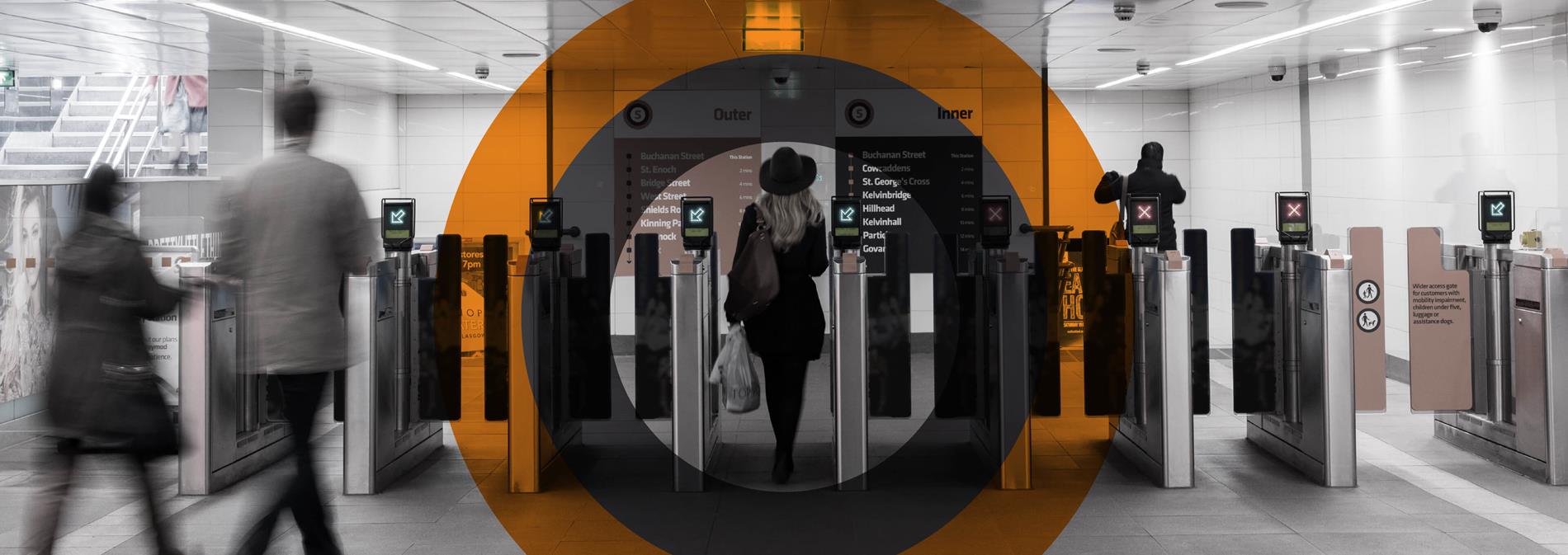
The Subway is the easiest way to get around the City Centre and West End of Glasgow. Running every four minutes at peak times, it takes just 24 minutes to complete a circuit of the fifteen stations and costs from as little as £1.60 for an adult single to travel anywhere else on the system.
Key information
Find everything you need to know about your Subway here.
Modernisation
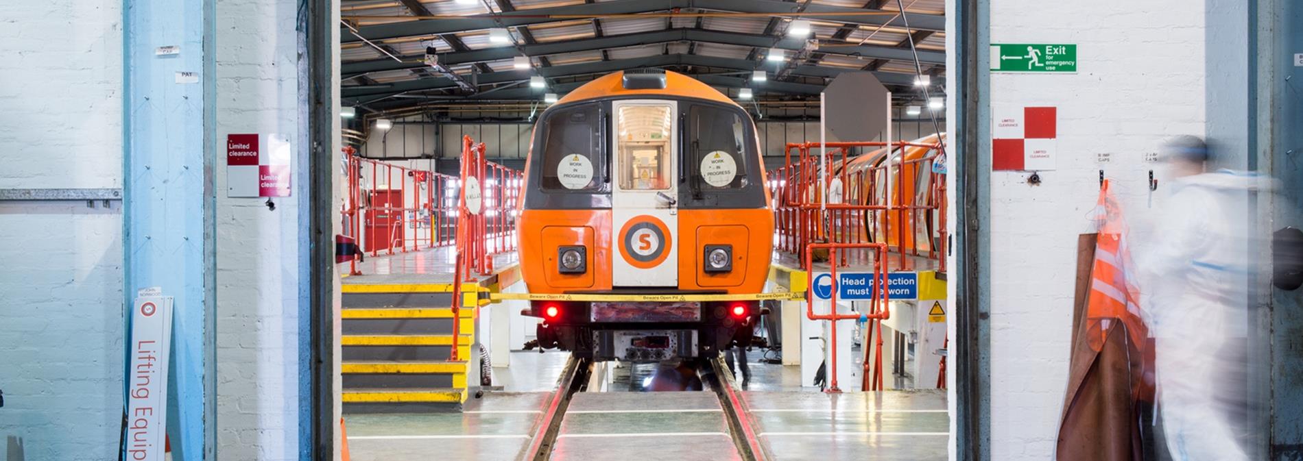
Follow the Subway's first full-scale upgrade in more than 30 years.
Follow our progress
The Subway is open 06:30 to 23:40 Monday to Saturday and 10:00 to 18:12 on Sundays.
- Wheelchairs are permitted in the Subway if folded. This is due to the small size of our trains.
- Assistance dogs are welcome.
- Ticket offices have induction loops to assist customers with hearing difficulties.
- All Subway stations have tactile paving on platforms and tactile maps at key stations to assist those with visual impairment.
- All station stairways have 30-point colour contrast stair nosings to assist passengers with visual impairment, additionally there are corduroy tactile strips at top and bottom of each staircase to assist visually impaired passengers locate stairs.
- Double height handrails are also in place which are non-reflective and not “cold to touch” to assist passengers with mobility impairment and also for children.
- Prams and pushchairs should be folded in the Subway. Unfortunately, because of space restrictions, it is not possible to accommodate large prams and pushchairs. Staff may ask customers to fold prams/pushchairs if they are too big or the system is busy.
- In the event of an evacuation alarms are both audible and visual which will assist passengers who are visually impaired or have hearing difficulties.
- People with mobility issues can read information about the number of stairs and escalators at each station.
- Way finding information for people who are blind or partially sighted is available at www.describe-online.com.
- If you need any assistance the Thistle Assistance Card is available to help make using public transport easier for older people and those with disabilities or illness.
Parking is available at Bridge Street, Kelvinbridge and Shields Road stations. Regular users can buy a money saving car park season ticket. Car parking is available during Subway opening hours.
Email [email protected] or phone 0141 333 3653 (08:00 to 17:00 Monday to Friday)
All items lost/found (with the exclusion of perishable items) are sent to the Custodiers Department (Police Scotland):
- Address: Jocelyn Square, Glasgow, G1 5JU (Off the Saltmarket)
- Email: [email protected]
- Telephone: 0141 532 2667 0141 532 2468 0141 532 2609
- Opening Hours: 09:00 to 17:00 Monday to Friday (closed on Public Holidays).
Bike parking is provided free of charge at various SPT Subway and Bus stations throughout Strathclyde. Please see the Bike Parking Terms & Conditions prior to using these facilities.
Any bikes left overnight at the bike parking facilities may, at the sole discretion of SPT, be moved to safe storage for a period of two weeks to allow the owner to come forward and claim the bike.
These Conditions of Travel form the contract between Strathclyde Partnership for Transport (SPT) and its customers for travel on the Subway and/or car parking at SPT’s car parks.
The byelaws help SPT to make sure that travelling on the Subway is easy, safe, secure and comfortable.
What we've been up to
See all projects
